The World Meteorological Organisation (WMO) has warned that El Niño is strengthening rapidly and could become one of the strongest events since at least 1950, with the climate pattern expected to peak in December 2026 and continue influencing global weather conditions into early 2027.
According to the WMO’s monthly Global Seasonal Climate Update, sea-surface temperatures in the central and eastern tropical Pacific are expected to reach exceptionally high levels between October and December.
The strengthening climate event is expected to bring above-average temperatures to many parts of the world while altering rainfall patterns in different regions.
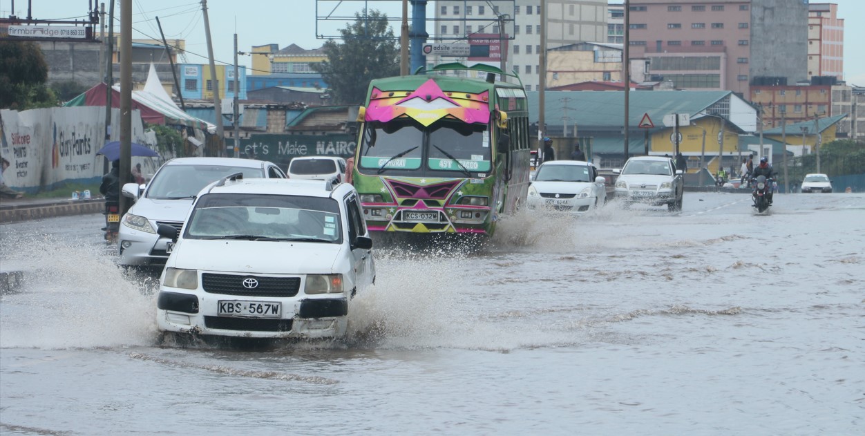
The WMO warned that the changing conditions could increase the risk of both droughts and floods, with potential consequences for communities, ecosystems and economies.
El Niño to Persist Into 2027
WMO Secretary-General Celeste Saulo said El Niño was firmly established and strengthening rapidly.
“WMO forecasts indicate a near-100 per cent likelihood that it will persist through February 2027, potentially being one of the strongest since at least 1950,” Saulo said.
The forecast is based on a combined assessment by 13 national and international climate centres, including centres in Washington, Tokyo, London and Pune.
The assessment draws on real-time observations from ocean buoys, satellites and radiosondes, coordinated through the WMO.
El Niño Expected to Peak in December
The strength of El Niño is measured partly through changes in sea-surface temperatures in the central and eastern equatorial Pacific, the region at the centre of the climate phenomenon.
Scientists use the Niño 3.4 index to track these changes.
According to the WMO, the index rose from an average of 1.6°C above normal in June 2026 to 2.5°C above normal in August, indicating a sharp increase in Pacific Ocean temperatures.
For October, November and December, the seasonal average sea-surface temperature anomaly on the Niño 3.4 index is forecast to reach approximately 3.7°C above normal.
The event is expected to peak around December.
If the forecast is realised, the WMO says the level would surpass the previous record of 2.6°C above normal, recorded between November 2015 and January 2016.
El Niño Releases Heat Stored in the Ocean
Saulo said El Niño does not create additional heat but instead releases heat that the ocean has stored beneath its surface.
She said this process can contribute to exceptionally warm years.
“El Niño doesn't add new heat to the planet. It releases heat the ocean has already been storing beneath the surface,” Saulo said at the Global Heat Forum in Bangkok.
She added that the ocean from which the heat is being released is the warmest ever measured, meaning there is more heat available to be released.
The WMO said the strengthening El Niño is expected to influence temperatures and rainfall patterns across different parts of the world.
The organisation warned that the event could increase the risk of droughts and floods, potentially affecting food security, livelihoods, ecosystems and economies.
However, the precise effects will vary by region because El Niño interacts with other large-scale climate patterns.
Indian Ocean Dipole Also Influencing Weather
The Indian Ocean Dipole (IOD) is also expected to influence weather conditions during the final months of 2026.
The WMO said a positive IOD is expected to peak in October before weakening.
Its seasonal temperature anomaly for October to December is forecast at approximately 0.5°C.
Meanwhile, sea-surface temperatures in the equatorial Atlantic Ocean are also expected to remain above normal.
Climate Patterns to Shape Weather Into 2027
The WMO’s Global Seasonal Climate Update tracks large-scale climate patterns that influence seasonal temperatures and rainfall.
These include the El Niño–Southern Oscillation (ENSO), the Indian Ocean Dipole and sea-surface temperatures in the tropical Atlantic.
With El Niño expected to persist through February 2027, governments, communities and sectors vulnerable to weather extremes are likely to continue monitoring changing rainfall and temperature patterns as the event develops.